Karnataka
- Total Villages and Towns:
- Census State code:
- Short Name: KA
Quick View
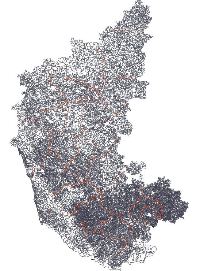
Only static image as the map file is really huge. Please download and try it.
Download
Download the full map file by Right Click -> Save Link As
Credits
- Initial Digitizing Centre for Interdisciplinary Studies for Environment & Development (CISED), now merged with ATREE.
Supporting Documents
- KA - Bhuvan Panchayat - Digital Empowerment of Society for Panchayat level Planning and Governance
- KA - Geographical Information System (GIS) based Road Information System (RIS) for PWP & IWTD Road Network
- KA - Dharwad Village Boundaries
Status
- [x] Intial Map complete
- [ ] Need 2001 Village coding creation
Historical Info by creators
README FILE FOR GIS LAYER Kar-village-with census 1991 and 2001-GEOG
- This is a shapefile containing the revenue village boundaries of villages in Karnataka state, India
- The boundaries have been digitized manually from District Census Handbooks of Census 1991. Each taluka (=CD block in Karnataka) had a separate map. Each map was scanned and digitzed by hand. Each taluka file was geo-rectified using corresponding taluka boundaries created from Survey of India toposheets.
- The fit of Census maps with Survey of India maps is not great. So the spatial registration error is +/- 500m.
- Digitization was verified by comparing area of the digitized polygons with areas as given in the Census database. However, in several cases, even though there was no visible digitization error, the areas did not match.
- Multi-part villages were identified and converted into multi-part polygons where possible.
- The layer has been reprojected to WGS84 datum and Geographic projection (units: decimal degrees)
- The village polygons were coded with 1991 and 2001 census location codes. But the layer does not reflect 2001 boundaries accurately (where villages have been merged into towns or part-merged into towns.)